Geography students map University’s scientific investigation included in the Catalog of Research
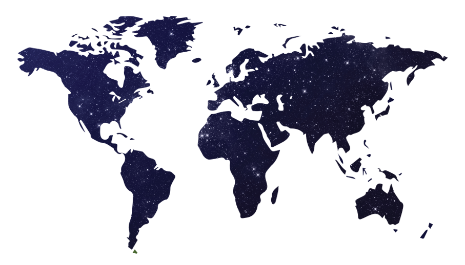
Image: 3333873/pixabay.com
Do you know in which continents PUCRS’ scientific partners are found? Did you know that, in addition to having collaboration with countries such as Germany, the USA, France and the UK, PUCRS also collaborates with Israel, Lithuania and Madagascar? This information can be found in the Geographic Positioning Research Mapping, a project implemented by Geography students, at the School of Humanities’ Imaging and Geoprocessing Laboratory (LTIG).
Relying on mobile apps and Spatial Data Infrastructure, and the employment of geospatial intelligence, the data have been compiled onto a digital atlas, which includes the partnerships of the departments (centers, groups, laboratories and nuclei) mentioned in the PUCRS Catalog of Research. According to LTIG’s coordinator, professor Regis Lahm, “the engagement of Geography students was key to the success this project, as it serves one of the critical issues in publishing scientific research, which is the employment of strategies that enable the administration and socialization of knowledge”. In his view, that was a key condition for the Foundation for Support of Research of the State of RS to support it, as the organization has provided funds for research initiation grants.
The Catalog, which was released in 2016, brings reports, videos and audios describing as many as 100 investigations conducted on and off PUCRS’ main Campus, according to researchers’ accounts. The publication is segmented into eight main areas (topics): Biology and Health; Culture and Education; Energy and Natural Resources; Humanities and Ethics; Environment and Biodiversity; Materials, Processes and Equipment; Society and Development; Information and Communication Technology.
The segmentation in topics was used by LTIG in order to map out the investigations. By navigating through the page, users can find out which PUCRS centers, groups, laboratories and nuclei collaborate with universities and other research institutions from Brazil and overseas.
The Imaging and Geoprocessing Laboratory (LTIG) is accountable to the School of Humanities of PUCRS, and the Geography program. Created in 1995, it brings together teaching, research and extension activities by employing geotechnologies. Since 2013, LTIG has been working on research on geotechnologies for registration, storage and sharing of geospatial data by using mobile apps as tools to be used with territorial planning.


